GEOTECHNICAL ENGINEERING1
CAMBRIDGE
HomeUnderground ExcavationsGeotechnical excavation monitoring

Geotechnical Excavation Monitoring in Cambridge: Instrumentation, Data and Safety

Evidence-based design. Reliable delivery.

LEARN MORE

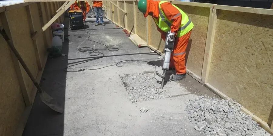
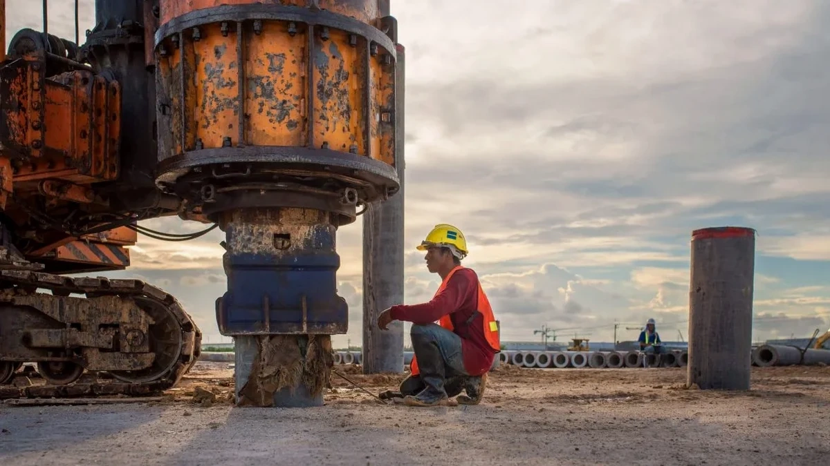
Specifying a deep basement or cut-and-cover tunnel in Cambridge without a solid geotechnical excavation monitoring plan remains the single most common root cause of cost overruns on constrained urban sites. The Gault Clay and the overlying river terrace gravels behave predictably — until they don’t. A minor change in groundwater pressure behind a sheet pile wall, or a sub-millimetre movement in an adjacent listed college building, triggers Section 61 notices and programme delays that no contractor can absorb. The instrument array must match the ground model: vibrating wire piezometers in the gravel lenses, in-place inclinometers through the clay, and precise level surveys on every sensitive structure within the zone of influence defined by BS EN 1997-1:2004. When the geology demands it, we also integrate CPT test data to refine the soil stiffness profile before excavation begins, ensuring the observational method has a reliable baseline.

In Cambridge’s Gault Clay, heave recovery can continue for 90 days after excavation stops — monitoring must match that timeline.

Our service areas

How we work

Cambridge sits on a two-layer drift geology that directly shapes every monitoring specification. The upper 4 to 8 metres are Quaternary river gravels — highly permeable, with hydraulic conductivities often exceeding 1×10⁻³ m/s — overlying the stiff, overconsolidated Gault Clay, which acts as an aquiclude but swells and softens when unloaded. This means a single dewatering well in the gravels can draw down water levels 300 metres away, while the clay heave beneath the formation level takes weeks to stabilise. A competent plan therefore layers real-time vibrating wire piezometer readings in the gravel with manual standpipe checks in the clay, cross-referenced against inclinometer deflection profiles. For deeper shafts, we add extensometers anchored below the excavation to separate basal heave from wall convergence. The monitoring frequency follows CIRIA C760 guidance: daily readings during active excavation, reduced to weekly once the rate of movement drops below 0.5 mm/day for five consecutive days. All data feeds into a cloud dashboard accessible to the temporary works designer and the principal contractor, allowing trigger levels — typically set at 70% of the calculated design limit — to initiate pre-agreed contingency actions without delay.
Geotechnical Excavation Monitoring in Cambridge: Instrumentation, Data and Safety
Technical reference — Cambridge

Local considerations

On Cambridge projects, we repeatedly see the same failure mode: groundwater drawdown in the gravels goes unmonitored for 48 hours, and a Victorian sewer 20 metres outside the site boundary settles enough to crack. The chalk aquifer beneath the Gault Clay is not the problem — it’s the perched water in the gravel lenses that surprises. A single unrecorded tide cycle on the River Cam can raise pore pressures behind a retaining wall by 15 kPa, enough to exceed the serviceability limit state. The other risk is instrumentation drift. Thermistor-equipped MEMS inclinometers self-correct, but older analogue systems need manual temperature compensation; skipping that step in winter produces false deflection readings. NHBC Standards Chapter 4.3 and the ICE’s Instrumentation and Monitoring Manual both require a clear chain of data review responsibility. If the monitoring data lands in an inbox that nobody checks over a bank holiday weekend, the whole observational method collapses. The fix is simple: automated SMS and email alerts tied to amber and red trigger thresholds, with a named engineer on call to confirm whether the reading is real or an instrument fault.

Need a geotechnical assessment?

Reply within 24h.

Email: contact@geotechnical-engineering1.com

Regulatory framework

BS EN 1997-1:2004 (Eurocode 7 — Geotechnical design), BS 5930:2015+A1:2020 (Code of practice for ground investigations), CIRIA C760 (Guidance on embedded retaining wall design), NHBC Standards Chapter 4.3 (Deep basements — monitoring requirements)

Typical values

ParameterTypical value
Inclinometer accuracy±0.25 mm/m (in-place MEMS)
Piezometer range0–500 kPa (vibrating wire, gravel)
Settlement marker precision±0.5 mm (digital level, BS 7334-4)
Trigger level (typical)70% of design limit (CIRIA C760)
Monitoring frequency (active)Daily inclinometer + piezometer
Data latency<15 minutes (cloud dashboard)
Crack gauge resolution0.1 mm (adjacent listed buildings)

Questions and answers

What monitoring frequency does Eurocode 7 require for a 6-metre excavation in Cambridge?

Eurocode 7 (BS EN 1997-1:2004) does not prescribe a fixed frequency — it requires the frequency to be specified in the Geotechnical Monitoring Plan based on the observational method. For a 6-metre excavation in Cambridge gravels over Gault Clay, CIRIA C760 recommends daily inclinometer and piezometer readings during active digging, reducing to weekly once movement rates stabilise below 0.5 mm/day for five consecutive days. Automated systems can log hourly and alert on exceedance.

How much does excavation monitoring cost in Cambridge?

For a typical Cambridge basement excavation, monitoring packages range from £690 for a short-term manual survey programme to £2,190 for a fully automated suite with inclinometers, piezometers, and cloud dashboard access over a two-month period. The final cost depends on the number of instrument positions, the monitoring duration, and the reporting frequency required by the principal contractor and the building control body.

Can you monitor movement on adjacent listed buildings without attaching anything to the facade?

Yes. We use reflectorless total stations to monitor target points on listed facades without physical contact, alongside ground-based settlement markers at the foundation level. For crack monitoring, we install tell-tale gauges across existing cracks using a non-invasive adhesive approved by conservation officers. This approach satisfies the requirements of Cambridge City Council’s planning conditions for heritage assets.

What triggers a red alert in your monitoring system?

A red alert is triggered when any instrument reads a value that reaches 100% of the design limit specified in the temporary works design. Typical design limits for a Cambridge project might be 25 mm of wall deflection or 10 mm of adjacent building settlement. Amber alerts fire at 70% of that limit, prompting an immediate review and potential implementation of contingency measures such as re-propping or grouting.

Location and service area

We serve projects in Cambridge and surrounding areas.

View larger map