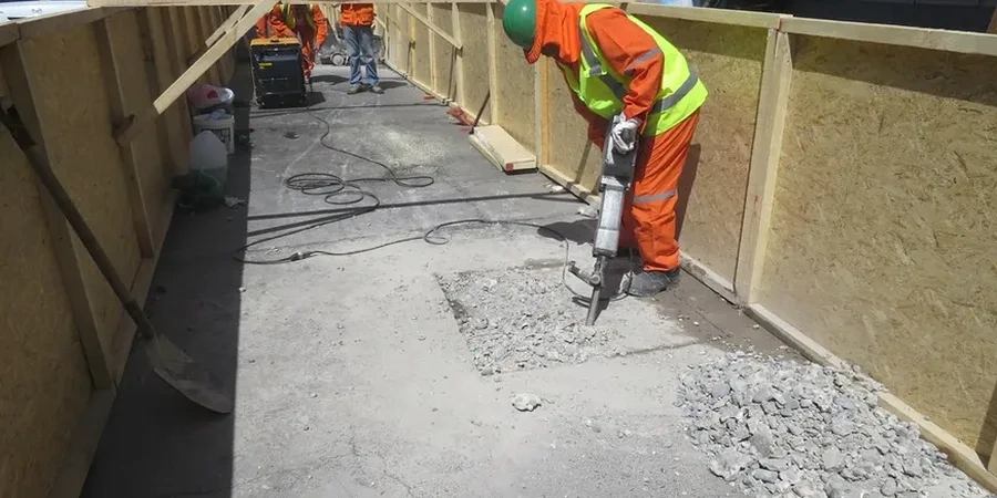
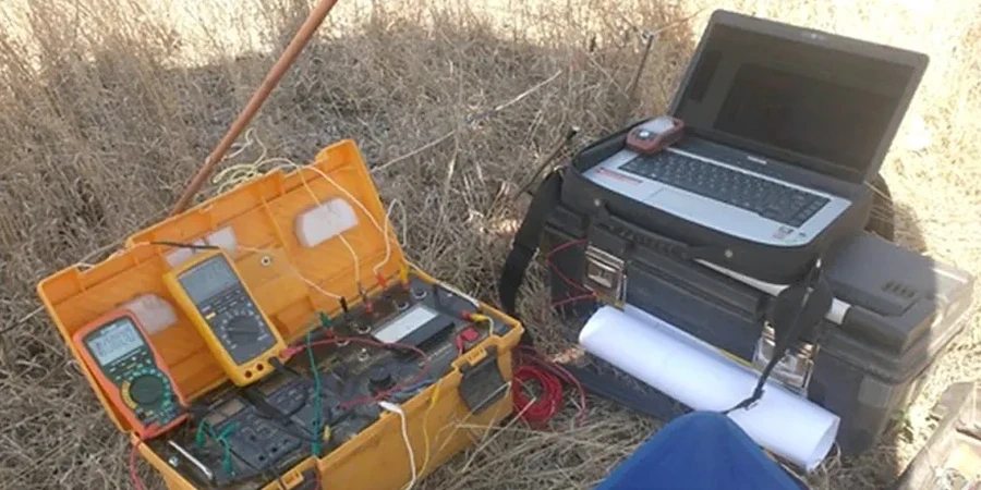
Cambridge's evolution from a Roman river crossing to a global centre of learning has left a layered legacy beneath its streets, where medieval quaternary deposits overlie the Gault Formation and the deep Chalk Group that defines the region's hydrology. When new college expansions or biomedical campus facilities break ground, the real challenge lies in what cannot be seen: variable thicknesses of alluvium, head deposits, and potential collapse features in the chalk itself. Our approach integrates Vertical Electrical Sounding with site-specific geological mapping to map these transitions before a single borehole is positioned. We combine this with CPT testing when the stratigraphy demands a mechanical calibration of the resistivity profile, and we often run a MASW survey in parallel to tie stiffness contrasts directly to the geoelectric layers.
In Cambridge, a resistivity survey is often the fastest way to trace the chalk surface where it undulates more than five metres across a single building footprint.