GEOTECHNICAL ENGINEERING1
CAMBRIDGE
HomeInvestigationExploratory test pit

Exploratory Test Pits in Cambridge: Ground Truth for Your Project

Evidence-based design. Reliable delivery.

LEARN MORE

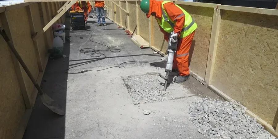
The ground beneath Cambridge tells a story that varies remarkably from one postcode to the next. Over in Cherry Hinton, you're digging into Middle Chalk that's been quarried for centuries—fractured, blocky, and surprisingly competent for a city built on soft rock. Cross the Cam toward Chesterton or the new developments north of Histon Road, and within half a mile you hit the impermeable Gault Clay: sticky when wet, prone to seasonal shrinkage, and demanding a completely different approach to foundation design. An exploratory test pit programme bridges that gap between what the geological map suggests and what the shovel actually finds. Rather than relying on borehole logs alone, opening the ground at key locations lets you see the soil fabric, measure strata thickness, and collect undisturbed samples right where the footing or service trench will go. It's the difference between guessing at a cross-section and knowing it with your own eyes—something the grain-size analysis lab later confirms, but the pit reveals first.

In Cambridge's mixed geology, a single well-placed test pit often tells you more about foundation risk than a dozen borehole cores ever could.

Our service areas

How we work

Cambridge sits on a buried chalk ridge flanked by Jurassic clays and capped in places by Pleistocene river terrace deposits—the so-called 'valley gravels' that run through the city centre and along the Backs. In our experience, the contact between those gravels and the underlying Gault Clay is rarely a neat horizontal line; it undulates, pinches out, and sometimes disappears into pockets of soft alluvium that can ruin a standard bearing capacity assumption. A well-sited exploratory test pit exposes that transition in minutes. Depth to groundwater also catches people off guard: in the lower-lying wards near the river, the water table can sit barely a metre below ground level in winter, turning a straightforward dig into a sump. When the pit walls start weeping, we document the seepage rate, measure the standing water level after 24 hours, and correlate that with in-situ permeability testing for a drainage strategy that actually works. The key parameters we record in every log include:
  • Strata description to BS 5930 weathering grades
  • Undrained shear strength from hand vane or pocket penetrometer
  • Stand-up time and any signs of ravelling in granular layers
  • Root penetration depth and organic content in near-surface horizons
  • Recovery of bulk disturbed samples for moisture content and classification
Exploratory Test Pits in Cambridge: Ground Truth for Your Project
Technical reference — Cambridge

Local considerations

We watched a basement excavation off Hills Road run into serious trouble because the pre-construction SI skipped test pits entirely. The borehole logs showed stiff Gault Clay from 1.2 metres down, and the structural engineer designed a cantilever retaining wall on that assumption. When the digger arrived, it turned out the upper 2.5 metres were reworked fill overlying a lens of water-bearing gravel that the borehole had simply missed—the rig had punched straight through the gravel into the clay below without anyone realising. The wall design had to be re-engineered mid-programme, costing three weeks on a tight schedule. An exploratory test pit would have exposed that gravel lens in half a day. The risk isn't just about bearing capacity; it's about buried services, archaeological constraints (Cambridge is riddled with Scheduled Monuments), and contaminated made ground that may need waste classification before disposal. Skip the pit, and you're gambling that a 150 mm diameter borehole is representative of a 20-metre-wide building footprint—a bet that rarely pays off in this city's layered, variable ground.

Need a geotechnical assessment?

Reply within 24h.

Email: contact@geotechnical-engineering1.com

Watch the video

Regulatory framework

BS 5930:2015+A1:2020 – Code of practice for ground investigations, Eurocode 7 (BS EN 1997-1:2004+A1:2013) – Geotechnical design, BS EN ISO 14688-1:2018 – Identification and classification of soil, NHBC Standards Chapter 4.2 – Building near trees (shrinkable clay guidance)

Typical values

ParameterTypical value
Typical pit dimensions2.5 m long x 0.8 m wide x up to 4.5 m deep
Strata logged per BS 5930Weathering grade, strength, discontinuities, fabric
Sampling methodBlock samples, U100 tubes in cohesive layers, bulk bags
In-situ testingHand vane (cu), pocket penetrometer (UCS proxy), DCP where applicable
Groundwater observationInflow rate, 24-hr stabilised level, perched water identification
Backfill specificationCompacted arisings or low-strength grout per NHBC/LA requirements
Typical reportingGraphic log, photos, lab schedule, factual report in 5-7 working days

Questions and answers

How much does an exploratory test pit cost in Cambridge?

For a typical domestic or light commercial project in Cambridge, a single exploratory test pit with full logging, photography, and sampling generally runs between £400 and £710, depending on depth, access constraints, and the number of samples sent to the laboratory. Machine hire and operator costs are included in that range for standard weekday mobilisations; weekend or restricted-access digs (e.g. college grounds with narrow gates) may carry a small uplift. We always provide a fixed quote after a brief site walkover so there are no surprises.

What depth can you reach with a test pit in Cambridge's geology?

In the river terrace gravels and Chalk formations that dominate much of Cambridge, we routinely reach 4.0 to 4.5 metres with a standard 8-tonne excavator. Where the Gault Clay is firm and free of groundwater, slightly greater depths are achievable. The practical limit is governed by machine reach and sidewall stability, not by the ground itself—we stop when the pit becomes unsafe to enter or the excavator runs out of vertical capacity. For anything beyond 4.5 metres, we typically recommend supplementing the pits with window sampling or light cable percussion boreholes.

Do I need a test pit if I already have borehole results?

Not always, but in Cambridge's variable superficial geology the combination of both methods catches things that either one alone would miss. A borehole gives you a continuous vertical profile with depth, but the sample is only 100-150 mm in diameter and can smear or displace layers. A test pit lets you see the actual fabric of the soil—fissures in clay, the true gravel matrix, the contact geometry between fill and natural ground—over a much wider face. For projects where the foundation type hasn't been finalised or where buried obstructions are suspected, a couple of targeted pits alongside the boreholes provide a level of confidence that's hard to achieve any other way.

Location and service area

We serve projects in Cambridge and surrounding areas.

View larger map